


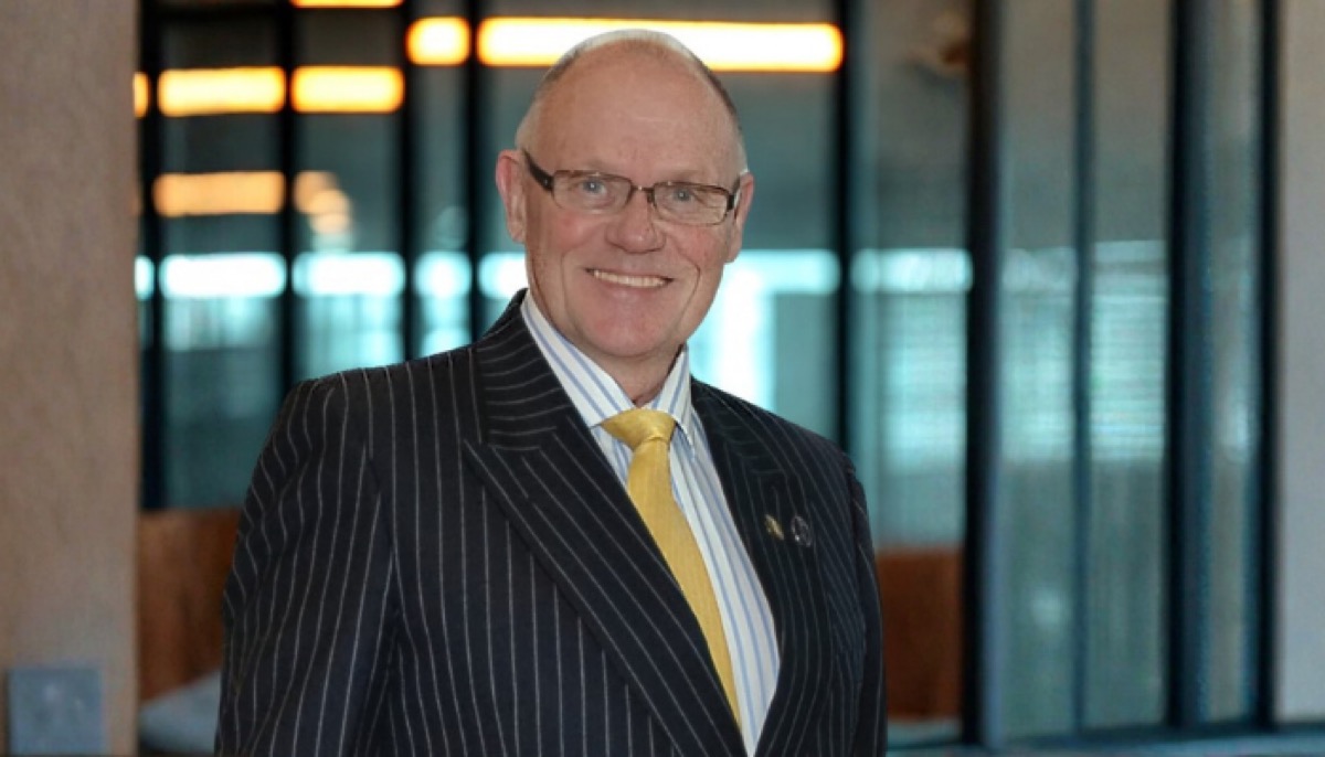
Caspian Energy (CE): Mr. Mott, what were prerequisites for Fugro’s entry into the market of the Caspian region?
Christopher Mott, General Manager, Fugro Survey LTD (Caspian): Fugro entered Azerbaijan in the mid-1990’s as the search for oil and gas in Azerbaijan progressed further offshore and into deeper waters. Success in deeper water and at greater distances from shore requires the highest standards of offshore surveying so that offshore facilities can be properly designed and precisely located. The particular geological hazards present on and within the seabed of the Caspian Sea have to be accurately charted and assessed for risk. Offshore facilities must then be engineered to avoid or tolerate these risks. Fugro brought these skills to Azerbaijan and continues to develop them.
Today, Fugro operates in two divisions. We have a survey division and a geotechnical division. The survey division harnesses a variety of technologies to do its work which is to make investigations of the earth’s atmosphere, the earth on land, the sea and the earth under the seas. We use the USA GPS satellites for positioning and also use the Russian GLONASS satellites for positioning.
We use geophysical and geotechnical techniques to image the earth for engineering purposes so that foundations can be properly designed and structures can be safely and efficiently installed on the earth, not only on dry land but also the seabed. Geophysical techniques rely up on indirect methods, such as sound, gravity, radar and magnetics to infer the properties of the earth. Geotechnical techniques require actual samples of the earth to be taken and analyzed in laboratories or in situ.
CE: What kind of advanced technologies does Fugro apply in the Caspian region?
Christopher Mott: A specific example is the use of an Autonomous Underwater Vehicle (AUV). We will soon be carrying out a seabed survey for an oil company offshore the Caspian Sea. To carry out that work we will import an AUV which is a very sophisticated Autonomous Underwater Vehicle that is deployed in the sea ready-programmed to survey on specifically pre-calculated survey lines. The AUV keeps the sensors that it is using to obtain data at precise distances from the seabed to get the best data we possibly can in the geologically complex and hazardous area of the Caspian Sea. This system is coming into Azerbaijan next month. It will be doing its work for several months. The AUV is a vehicle that is used for carrying geophysical instruments. These are: a) a camera that takes photographs of the seabed as it goes along; b) Multi-beam Echo Sounder to measure the shape and depth of the seabed as it rises and where it falls; c) Side Scan Sonar system which uses high frequency sound to detect objects on the seabed; d) Sub-bottom profiler which uses a lower frequency sound source to depict the depths, thicknesses and orientation of the soil and rock layers beneath the seabed.
We will be bringing in other new technologies to Azerbaijan later this year for a geotechnical sampling survey in some of the deepest water in Azerbaijan. Traditionally this has been done by installing a drilling rig on a ship and drilling into the seabed using a steel drill string which connects the ship to the seabed. However, in this case, the water is so deep that the required length of drill string is too heavy for the drilling rig to handle.
Meanwhile, it is essential that the engineering properties of the seabed are known. The solution is to bring in a seafloor drill that is lowered from the ship to the seabed on a wire, which is much lighter than the drill string. All drilling and sampling activities will be carried out remotely by the seafloor drill, operations are controlled from the support vessel by technicians via optic fiber commands sent down the deployment wire. All though not required for this project, the seafloor drill is capable of being used in water depths of 4000 meters. The system can drill into the seabed to a depth of 150 meters and obtain high quality soil samples from the borehole. It will also measure some soil properties directly from the borehole. In doing this remote work, a number of patented technologies will be used which are obviously unique.
CE: What could you tell about opportunities for providing precise positioning services in the Caspian region?
Christopher Mott: As mentioned above, we are using leading edge satellite technologies to provide precise positioning both at the surface of the sea and at the seabed. We are also using state-of-the-art acoustic technologies to improve the monitoring of existing pipelines lying on the seabed. Laser technologies will be employed later this year in an onshore project to accurately map the surface of the land for large scale developments. Tens of square kilometres per day can be surveyed using LiDAR (or Laser Imaging Detection And Ranging). An airplane flies over the survey area along precisely defined parallel tracks. The airplane is equipped with a LiDAR system. This system bounces a laser beam off the surface of the earth many times per second. The time-of-flight of each laser beam is captured and very complex data processing algorithms are used to turn this time-of-flight data into a very accurate digital terrain model of the survey area. This technique delivers results in days that would otherwise take months, using conventional terrestrial techniques, giving planners more time for design and developers a greater chance of keeping to the critical path.
Our information is as precise as the world’s leading technology can make it. For example, our positioning system uses GPS satellites. We can deploy our survey ships anywhere in the world, and measure where the antenna of the ship is to better than one meter. The accuracy of our positioning is due to our ability to know, at any moment, where each satellite is in the sky and to be able to measure the time it takes for their signals, travelling at the speed of light, to reach the antenna.
CE: What kind of underwater equipment is used in the Caspian Sea?
Christopher Mott: I think you are referring to what the industry calls remotely operated vehicles. They are known as ROV’s and they are launched from the ship into the sea. They remain connected to the ship via a strong umbilical cable. It delivers power to the vehicle so that it can move, its lights can come on and it can be maneuvered. It also has signal cables that carry data from the ship to the ROV and from ROV back to the ship. We currently have three of these systems in Azerbaijan. They are assisting the companies which are installing pipelines on the seabed of the Caspian Sea at the moment.
CE: What importance does the company attach to safety and social liability issues?
Christopher Mott: We place great importance on not only safety, but health and the environment. We operate in accordance with our Integrated Management System (IMS) which incorporates Quality, Health, Safety and Environmental issues. We are accredited against the international standards of: ISO 9001:2008 – Quality, OHAS 18001:2007 – Occupational Health and Safety, ISO 14001:2004 – Environmental.
Late last year, we underwent a major audit of the system which awarded us renewal of our accreditations for years to come.
We have a dedicated QHSE department that ensures that we operate in accordance with our IMS and enables us to integrate our IMS with those of our clients.
At Fugro, we recognise that having an IMS is only part of the solution. Our QHSE department, supported by senior management, ensures that the spirit of the system is adhered to as well as the letter. This means that our concerns for our employees and their concerns for themselves and their work colleagues is real and contributes to the safety and the well-being of us all. We want our people to go home safely at the end of their working shift and go to work on the next one, confident that they are as safe as possible.
CE: What kind of services may the company provide to the non-oil sector?
Christopher Mott: It is appropriate to say that most technologies that we use in the oil-gas sector are also appropriate to be used in other sectors. Anywhere where man is exploiting the sea, building things on it or tunnels underneath it, or maybe installing wind electricity generators. The same sort of information is needed whatever you are installing on the seabed.
CE: How would you assess the activity that the company has been carrying out in Azerbaijan for last years?
Christopher Mott: At the end of 2012 we prepared a plan of how we thought the company would do in 2013. We have just finished reporting on the first quarter of 2013 and the figures show that our performance in the first quarter of 2013 has been very close to the performance that we predicted at the end of 2012. Hopefully this will continue.